-
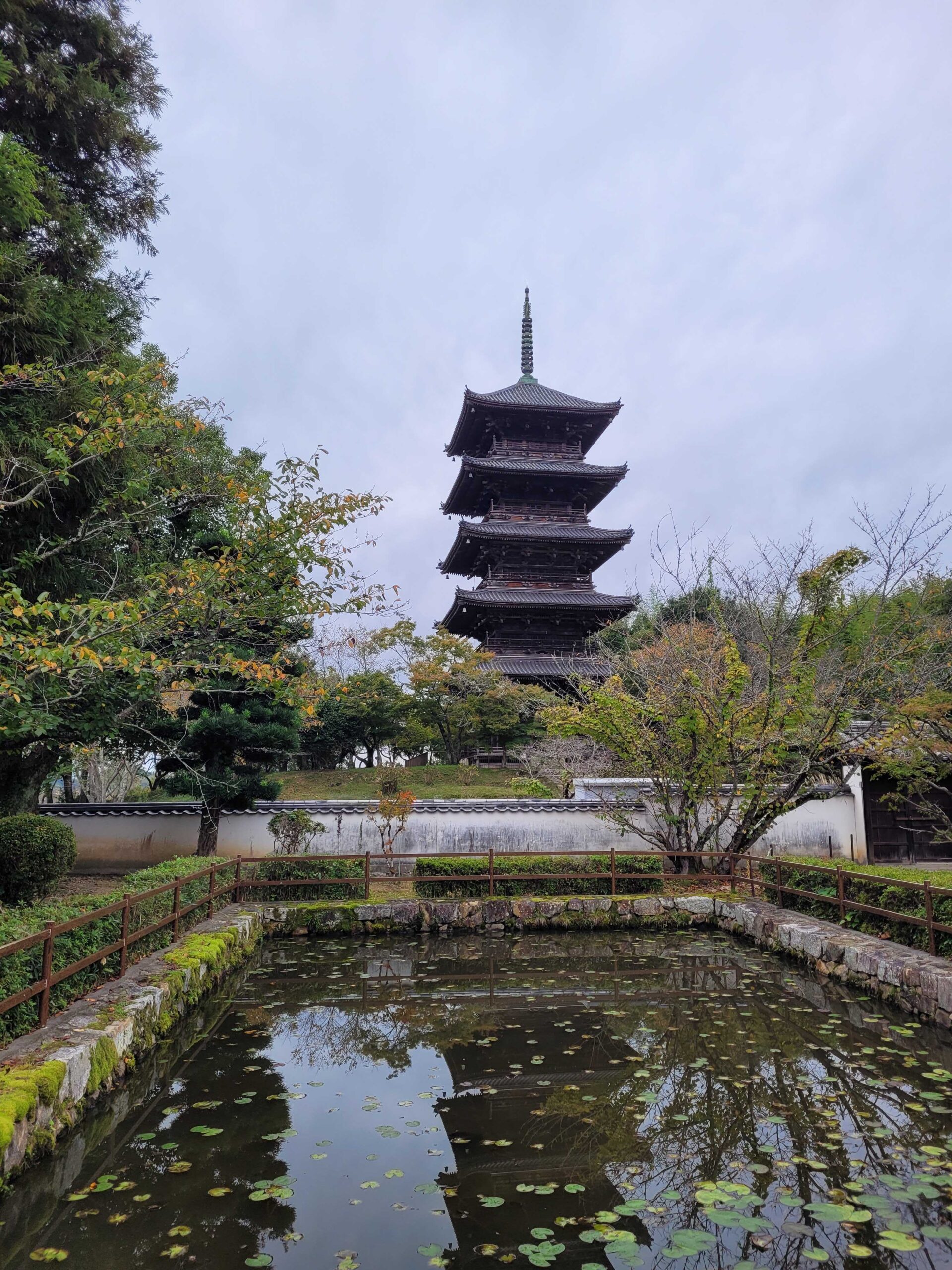
Kibiji Cycling Road 吉備路サイクリングロード
Flat / ~5 hours take your time. 🙂 This is my favourite walk, and I try to do it every year. As the name implies, it is primarily advertised as a cycling path; 5 hours is the time I take to walk it. The route is promoted by the city of Soja, Okayama, and there…
-
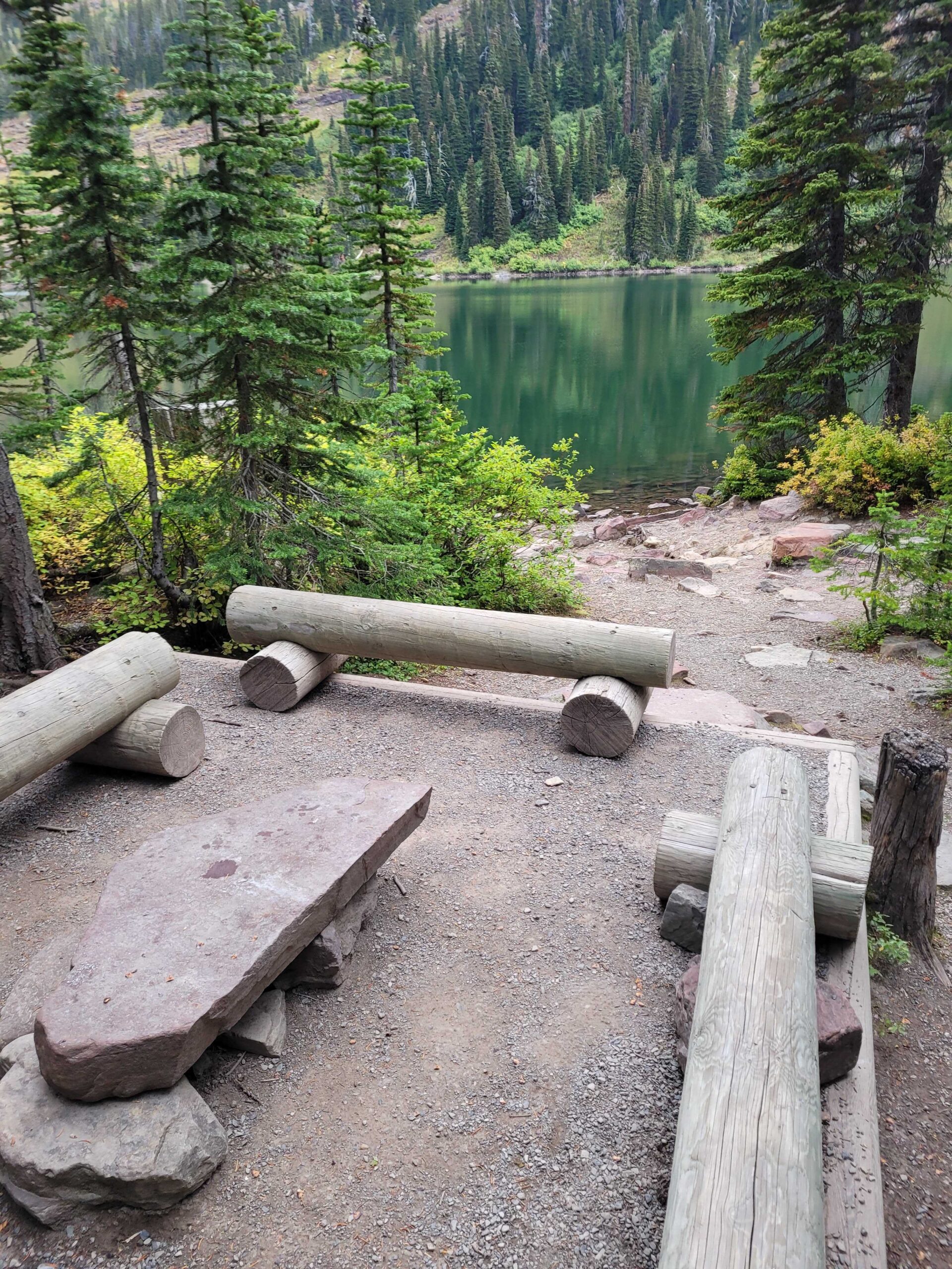
Twin Lakes (Waterton)
381 km elevation 1-way / ~4 hours This is my favourite back-country campground. I went there for a 2nd time last September for two nights, and it was just as wonderful the 2nd time. The trail starts at Red Rock Canyon in Waterton Lakes National Park, which is a great place to visit in its…
-
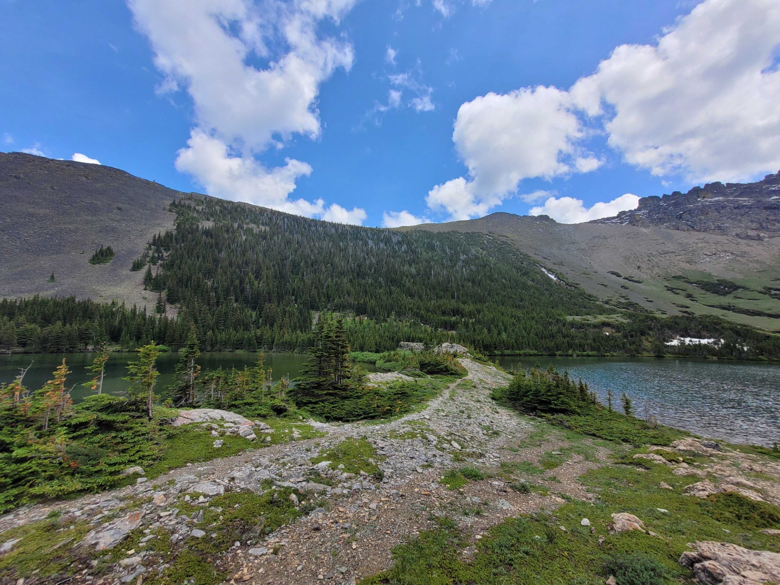
Southfork Lakes
686m total elevation / ~5 hours In June last year I wanted to check out some of the trails in the semi-recently designated Castle Wildland Provincial Park. Some of the comments I found online mentioned poor trail-head signage, but perhaps due to recent improvements I found everything very well laid out. The trail was well…
-
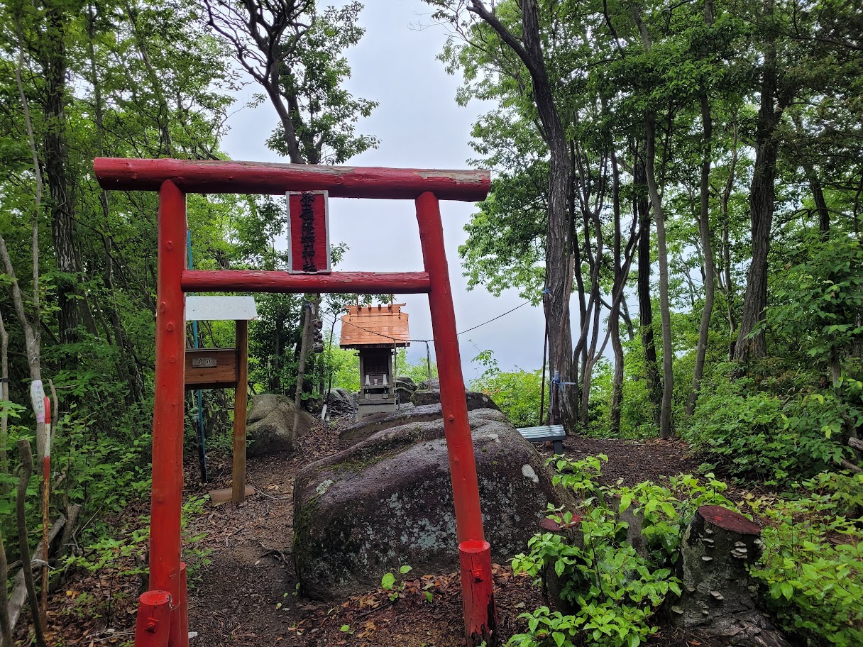
Mt. Takataki 高滝山
505m total elevation / ~4 hours Last summer I was trying to find a nearby hike to do in Okayama, and stumbled across Mt. Takataki near Soja. I don’t recall exactly how I first heard about it, but I was checking out the Japanese hiking app ‘Yamap’ and probably found it there. It was steeper…